THE ZAMBEZI RIVER
The Zambezi is the fourth-longest river in Africa, the longest east-flowing river in Africa and the largest flowing into the Indian Ocean from Africa.
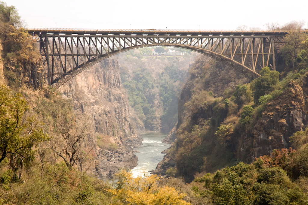
For about 500km / 310mi it serves as the border between Zambia and Zimbabwe, thundering over the Victoria Falls and through the narrow, steadily deepening Batoka Gorge, providing a fantastic playground for white-water rafters.
Its unique value is that it is less developed than other rivers regarding human settlement and many areas along its banks have even been granted protected status. The Lower Zambezi National Park flanks the river on the Zambian side and Mana Pools National Park on the Zimbabwean side. This whole area of the Zambezi supports one of Africa’s most important wilderness areas as it provides sustenance to a diverse array of game, birdlife and fish species.
The Zambezi also supports several hundred species of fish, some of which are endemic. Important species include cichlids that are fished for food, as well as catfish, tigerfish, yellowfish and other large species (the bull shark is sometimes known as the Zambezi shark after the river but it is actually found around the world).
After having provided power, food and transport for many people, and a home for untold numbers of wildlife, the river ends its journey through Mozambique and out towards the Indian Ocean.
The Zambezi’s most noted feature is Victoria Falls but there is so much more. Other notable waterfalls include the Chavuma Falls at the border between Zambia and Angola, and Ngonye Falls, near Sioma in Western Zambia. There are two primary sources of hydroelectric power on the river, the Kariba Dam (which provides power to Zambia and Zimbabwe) and the Cahora Bassa Dam in Mozambique, which provides power to Mozambique and South Africa. There is also a smaller power station at Victoria Falls.
Hippo, Nile crocodiles and monitor lizards, are commonly found along many of the calm stretches of the river. Species of birds, like heron, pelican, egret and African fish eagle are found in large numbers here. The riverine woodlands then support many large animals, such as buffalo, zebra, giraffe, elephant.
MORE INFORMATION