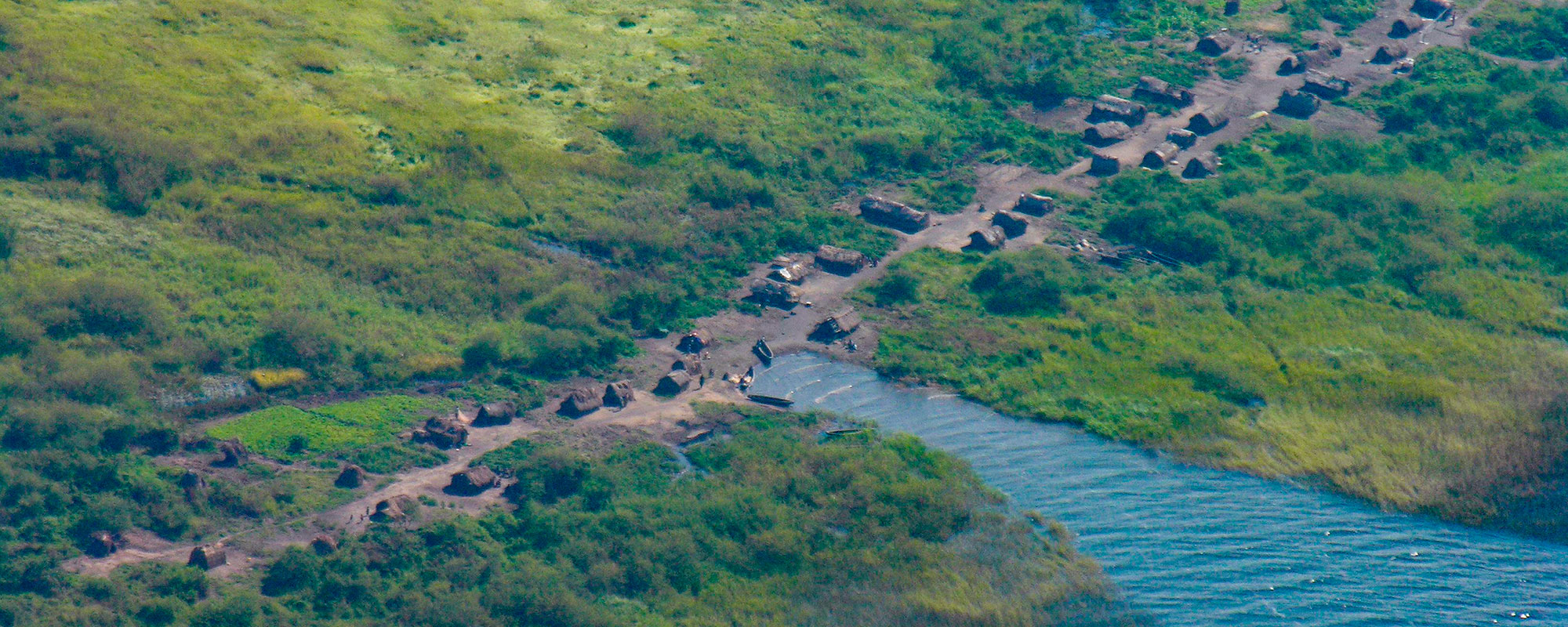
LAKE MWERU

This truly beautiful lake is located on the far north-west border of Zambia and is shared more or less equally with the Democratic Republic of Congo. The Luapula River flows in from the south having formed the official border between northern Zambia and DRC. It also drains out from the lake in the north. The Kalungwishi River flows in from the east. Both river mouths form important deltas that serve as fish breeding grounds.
Not so long ago there were just a few villages dotted around the lake but as the tar road arrived in Nchelenge in 1987, the population increased as people began to make a living from the wealth of the Lake. The area, once surrounded by wildlife, became peri-urban, and the animals that weren’t poached drifted off to quieter areas. Now there are thousands of people living on the shores of this massive expanse of water that provides both food and a means of living.
Lake Mweru, although off the beaten track, is worth a visit. The lake has spawned a dynamic population, rich in culture, fervent in trade and colourful in nature. Water temperatures range from 21°C / 70°F to 29°C / 84°F while daytime temperatures range from 27.5°C / 81°F to 35°C / 95°F. The lake is chemically very fertile and contributes substantially to the fishing industry in Zambia.
Known to only a handful of visitors, the lake lies on the edge of Mweru Wantipa National Park, which is temporarily closed. There are also a number of scenic waterfalls along the Luapula River that feed the lake, and the countless small villages you pass by help to further enliven the journey.
The road south from the lake is mostly good tar road all the way back to Ndola, beside the odd pothole, while the road heading north-east towards Lake Tanganyika is also fairly comfortable. ‘Mweru’ means lake in several local dialects so most just refer to it as ‘Mweru’ rather than saying, effectively, ‘Lake Lake’.
