THE VICTORIA FALLS
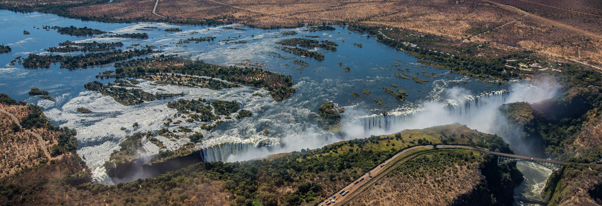
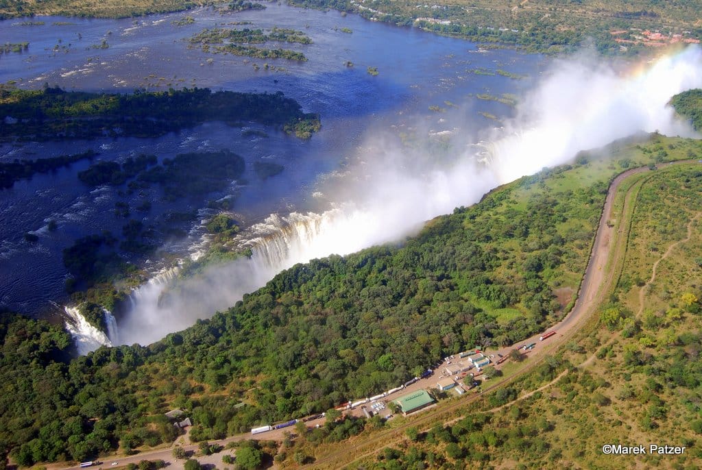
The Victoria Falls presents a spectacular sight of awe-inspiring beauty and grandeur on the Zambezi River, forming a natural border between Zambia and Zimbabwe. It was described by the Kololo tribe living in the area as ‘Mosi-oa-Tunya’ – ‘The Smoke that Thunders’ for the immense spray and incredible noise caused by the rushing water. Victoria Falls is now also known as the greatest curtain of falling water in the world when its width and height are combined.
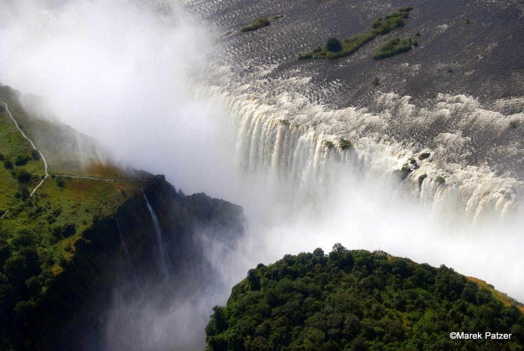
Columns of spray can be seen from miles away as, at the height of the rainy season, more than five hundred million cubic metres (over 17 billion cubic feet) of water per minute plummet over the edge, over a width of nearly two kilometres or over a mile, into a gorge over a hundred metres or 300 feet below.
The wide basalt cliff over which the Falls thunder transforms the Zambezi from a placid river into a ferocious torrent cutting through a series of dramatic gorges.
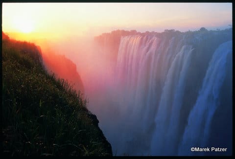
Facing the Falls is another sheer wall of basalt, rising to the same height, and capped by mist-soaked rain forest. A path along the edge of the forest provides those prepared to brave the tremendous spray with an unparalleled series of views of the Falls.
One special vantage point is across the Knife-edge Bridge, where you can have the finest view of the Eastern Cataract and the Main Falls as well as the Boiling Pot, where the river turns and heads down the Batoka Gorge. Other vantage points include Livingstone Island, the Falls Bridge, Devil’s Pool and the Lookout Tree, both of which command panoramic views across the Main Falls.
MORE INFORMATION
VICTORIA FALLS ACTIVITIES
If action, adventure and a surge of adrenalin are your thing, then why not experience it all while visiting the adventure capital of Southern Africa?
The wide basalt cliff of the Falls transforms the placid Zambezi River into a furious torrent, cutting through a series of dramatic gorges. This allows for a multitude of adventures from aerial and death-defying, or up-close-and-personal.
Peak flood season is around March and April when the full power of the Falls can be experienced in all its glory.
FEATURED LISTINGS
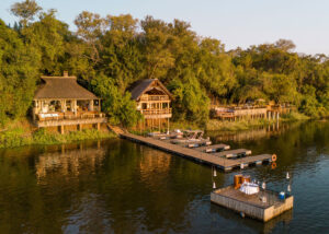
Tongabezi Lodge
Type: Lodge
Area: Livingstone
Rate from: $495